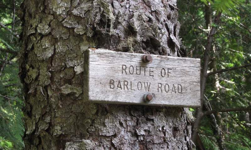
- Driving the Historic Barlow Road allows visitors to retrace the steps of pioneer covered wagons along the Oregon Trail.
- This road trip can be made in 3 hours, but at least a half day is recommended to enjoy the sights.
- Barlow Road lies under Highways 197, 216, and 26 from The Dalles to Oregon City.
Overview
Built in 1846 by pioneers Samuel Barlow and Philip Foster, the Historic Barlow Road once served as the final overland leg of the Oregon Trail for settlers to the Willamette Valley—an alternative to rafting one’s belongings down the wild Columbia rapids. Today a portion of the Barlow Road can still be driven, a historic road trip that visitors to the Mount Hood/Hood River area will not want to miss.
Driving Directions
To drive the Barlow Road’s path, take Highway 197 south from The Dalles to Tygh Valley. From Tygh Valley, the route joins Highway 216 to travel west through Wamic toward Mount Hood. Continue on Highway 26 northwest toward Government Camp, around Mount Hood, and on into the Portland Metropolitan area via Oregon City.
Time /Distance
The drive can be completed in 2-3 hours. Some sections of the Barlow Road are steep, winding, and hazardous, and traction devices are required during the winter months. To appreciate the sights and historic landmarks along the way, a half-day or even full-day road trip is recommended.
Highlights
- Between mileposts 44 and 45 on Highway 26 find the Barlow Road Tollgate, which was the last toll stop operated on the old Barlow Road—Sam Barlow used to charge pioneers $5 a wagon to cross. A replica of the old tollgate stands here.
- Between mileposts 50 and 51, take a short trail down to Laurel Hill Chute. Here the settlers used to lower their wagons down an almost vertical slope using ropes and the brawn of their own backs.
- Alongside the paved highway, portions of the intact original road can still be seen; witness the actual ruts carved by covered wagon wheels and the hooves of the oxen that pulled them.
- Barlow Pass is located 2 miles from the junction of Highways 35 and 26. Here a short one-mile trail can be hiked or biked to the Pioneer Woman’s Grave (a tribute to all the women who lost their lives on the Oregon Trail).
- More pioneer graves can be viewed in Summit Meadow, just south of Government Camp.


