


- 40 miles (typically 4-5 days)
- Difficult trail with more than 4,000 feet elevation change
- Trailhead: Join the trail just west of Timberline Lodge
Overview
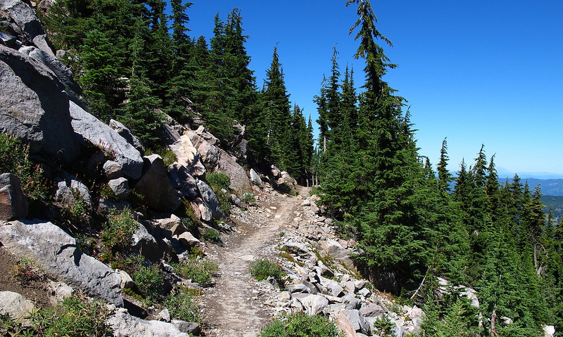
Mount Hood’s Timberline Trail owes its popularity to the alpine panoramas, cascading waterfalls, wildflower meadows, and rainforest canopy decorating the trailside. The trail is for hikers only, except for a 12-mile section where it overlaps with the Pacific Crest Trail (where horses are allowed). Dogs are allowed on Timberline Trail, but must be kept under control. This 40-mile hike is difficult, reaching an elevation of 7300 feet, and not recommended for families.
Although Timberline Trail encircles the base of the famous mountain at the tree line, Eliot Creek Crossing was rendered impassable when recent floods carved a deep chasm to the creek bed, so hikers are unable to traverse the entire trail loop. Elevation varies from 3480 to 7300 feet, and river crossings make portions of the trail quite challenging. There is one campground (Cloud Cap) along the trail, and several other areas frequently used for camping.
Trailhead
The Timberline Trailhead can be found near Timberline Lodge, less than 60 miles east of Portland; take US26-E (Mount Hood Scenic Highway) to Timberline Lodge Road. The Lodge sits on the south face of Mount Hood at 6,000 feet. From the front of the lodge, go west and up on any path and signs will direct you to the Timberline Trail.
Details
- Distance: 40 miles
- Average Time of Hike: 5 days
- Elevation Gain: 4,000 feet
- Difficulty: Difficult
- Trail Type: Loop encircling the base of Mount Hood
- Trailhead: West of Timberline Lodge
Plan & Prepare
Timberline Trail is a difficult hike ranging in elevation from 3,480 to 7,300 feet. The most treacherous trail areas are the river crossings; the rivers swell from glacial melt, at times making the fords too deep and fast to cross.
The trail is open May-October, but hikers should keep in mind that some portions of the trail may remain snow-covered all year. Wilderness Permits are required, which can be picked up for free at a permit box station at the trailhead. Group size is restricted to 12. Hikers should prepare to leave no trace and should check with the Forest Service to confirm up-to-date regulations in place.
